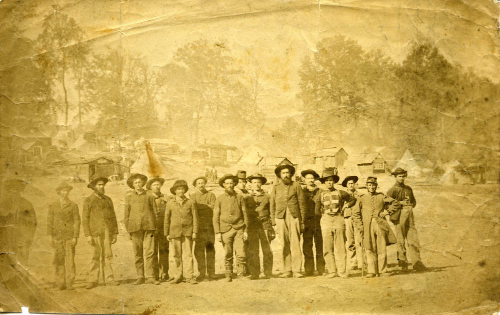
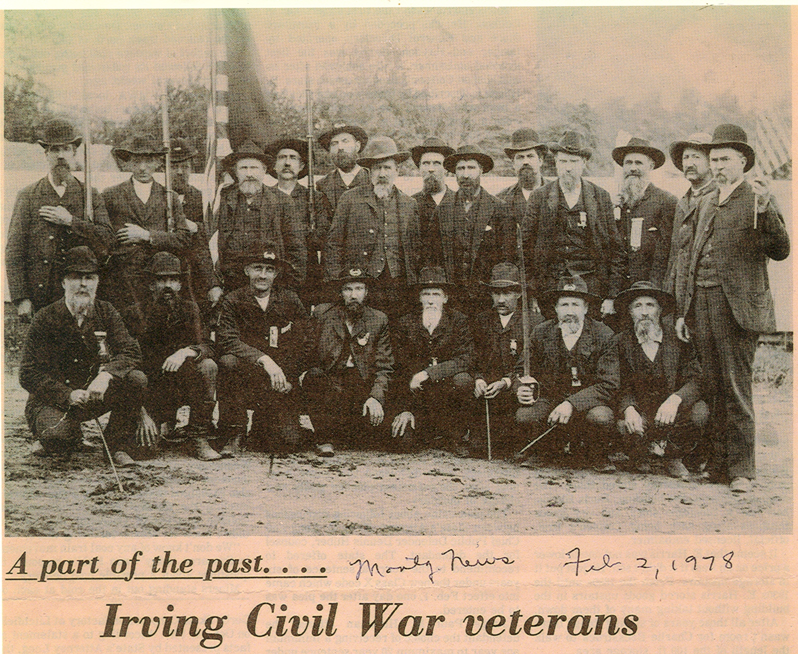
Courtship, Community, and Conflict: Montgomery County in the Civil WarMain MenuIntroductionAbout this SourceAbout this EditionTag Index"Bachelor"John H. BerryWilliam BrownAnna M. CollinsEli CressGeorge HarkeyLouis HarkeySophronia McNittPatrick MoynihanThomas MoynihanWilliam F. SandersSupplements: Cress Family GenealogyHow to CiteBibliographyAcknowledgementsCreditsAbout SourceLabMichelle Millerbb080fea267c2f8d9fcbdc279fba1dcba64b37cdBroderick Khoshbineae16291e75449a1afed9641b8678183250b7b51Russell Danielsaceefa26d12ab290d2b082f732d18e1832e97095Yoss Arianlou4a507c33828dc030a63b5ab5bb4408dca6141e1dKris Poker2ecb78d8d087c3a15dc8c87715da4e9f8f3db950Allen B7b5e2f2b22bbcc0afa6ebbf363ff1bce59d2b0b9Visit SourceLab
Supplements: Maps of Montgomery County and Illinois
12019-10-11T13:23:20+00:00Alex Drydenbb5ccf4591af9a1e2b579ecc283a321fc7a7d87d1011plain2019-10-11T13:23:20+00:00Alex Drydenbb5ccf4591af9a1e2b579ecc283a321fc7a7d87dBelow are maps of Montgomery County and the state of Illinois, as found in Atlas of the State of Illinois, created by Warner & Beers and published by the Union Atlas Company in 1876, approximately fifteen years after the majority of these letters were penned. These maps display the political borders of the county and state the way our letter authors may have understood them.
This map of Montgomery County partitions the county by township boundaries as of 1876. The map of Illinois is organized by county borders as of 1876.
This page has paths:
12019-10-11T13:23:20+00:00Alex Drydenbb5ccf4591af9a1e2b579ecc283a321fc7a7d87dCourtship, Community, and Conflict: Montgomery County in the Civil WarSourceLab Editorial Board5A collection of letters written to residents of Montgomery County, Illinois.book_splash50302020-05-05T11:29:05+00:00SourceLab Editorial Board3b464ba12826c81c80b3176004793045ce87b79e
This page references:
12019-10-11T13:23:20+00:00Map Of Montgomery County1Map of Montgomery County, Illinois. From Warner & Beers, Atlas of the State of Illinois (Chicago: Union Atlas Co., 1876).plain2019-10-11T13:23:20+00:00Internet ArchiveBIB4045650P097AtlasOfIllinoisMontgomeryCounty2image
12019-10-11T13:23:20+00:00Map Of Illinois1Map of Illinois. From Warner & Beers, Atlas of the State of Illinois (Chicago: Union Atlas Co., 1876).plain2019-10-11T13:23:20+00:00Internet ArchiveIllinoisMapUsedimage